In practice
Whether it is a flood risk assessment for a planning application, a strategic flood risk assessment supporting Local Plan site allocation, hydraulic modelling to support a flood map challenge, or a drainage strategy integrating blue and green infrastructure into the masterplan, our approach flexes to create the narrative and evidence at any scale of flood risk work.
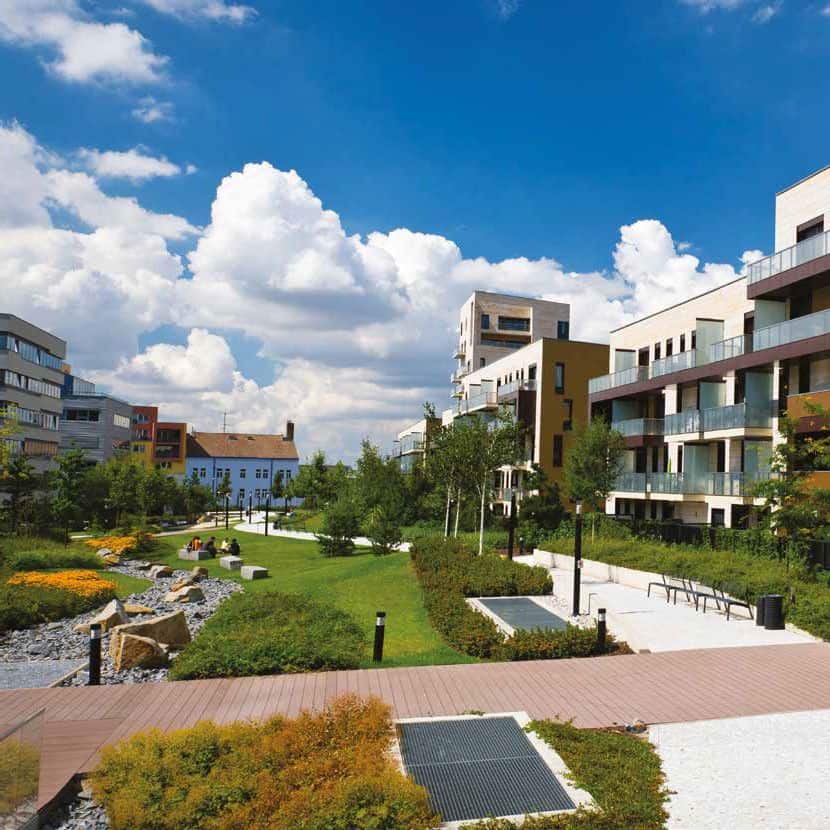
A water strategy, however well-conceived, only becomes a real place through the engineering that delivers it. That is why our flood risk work and our Infrastructure and Drainage team are closely connected: the drainage design, the site servicing, the physical structures that turn a water-positive vision into something that can be built and that will perform. When both are part of the same conversation from the start, what gets designed is also what gets delivered.
Route to conversation
Every site has a fingerprint. Some are straightforward to read. Some carry genuine complexity, and the right thinking at the right stage is what determines whether that complexity becomes a constraint or the thing that makes the place memorable.
If you want water to earn its place in your scheme, as a driver of biodiversity gain, community space, and somewhere families genuinely choose to live, we are probably already aligned. Our door is open.