Calibro are responsive, commercial and always ready to help. They have formulated complex arguments and presented them in a digestible fashion that has ultimately helped to elicit positive consultation responses from the Authority

PROJECTS
Project: Farm shop and associated yard (extension to existing garden centre)
Location: Avening Road, Nailsworth, Gloucestershire
Client: E.A. Chamberlain
Services: Flood Risk, Drainage
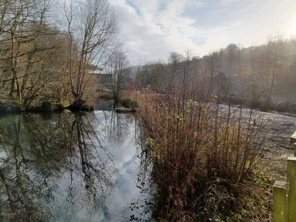
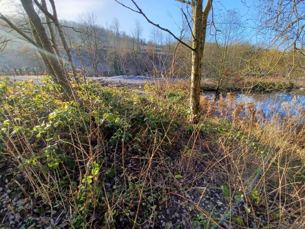
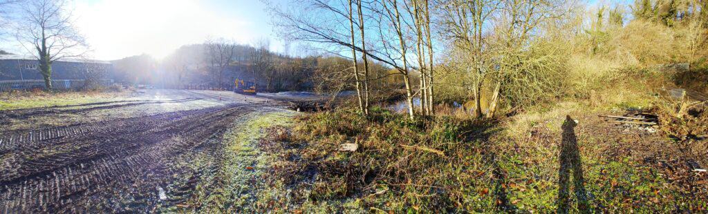
A proposed farm shop and yard at an established garden centre in Nailsworth, Gloucestershire sat in proximity to Gatcombe Water. Part of the site was shown to be at flood risk on national mapping, and that designation presented a potential obstacle to planning. The development required a sequential test to demonstrate that no other reasonably available sites in Stroud at lower flood risk could accommodate the proposal, as well as a drainage strategy to manage surface water.
Two issues required resolution before the sequential test could be confidently met. First, the flood zone designation was derived from national flood modelling: whether it accurately reflected the risk on this specific site was an open question until site-specific hydraulic work was done. Second, any mitigation that raised site levels to manage flood risk could result in a loss of floodplain storage that the available land could not compensate for within the client’s holding. The level difference between the site and the receiving watercourse was limited, making compliant surface water drainage technically demanding.
Planning permission was granted on 1 December 2021. The Environment Agency and the council’s drainage officer accepted the flood risk assessment and drainage strategy without seeking further information or clarification. Calibro was subsequently retained to provide detailed design for the sustainable drainage scheme.
We read the flood fingerprint of the site from the ground up rather than from the national map. A site-specific review of the flood modelling work used to define the flood zones was our starting point. We built a 3D ground model of the site and compared it against the flood model outputs to determine the actual extent and depths of flooding across key return periods. That work showed that less than 2 square metres of the site was at risk even in a 1-in-1,000-year event, and that the vast majority of the site sat outside the designated flood zone. With the sequential test resolved on the actual evidence, we designed a surface water drainage scheme within the level constraints of the site, discharging to the receiving watercourse at controlled rates.

Calibro are responsive, commercial and always ready to help. They have formulated complex arguments and presented them in a digestible fashion that has ultimately helped to elicit positive consultation responses from the Authority


